Technical data
Technical Data Preparation & Permitting Support Services
Preparation of survey-based technical data and documents for permit applications and periodic reports, with support through to agency review.

Scope
- Site, topographic, and boundary maps in the official coordinate system
- Technical data for exploration reports, feasibility studies, and RKAB (annual work plan and budget)
- Baseline data for environmental documents (AMDAL / UKL-UPL)
- Land clearing, mine plan, and reclamation maps
- Support during presentations and revisions in the document review
What you receive
- Submission-ready technical maps (PDF, SHP, DWG)
- Supporting technical reports and data
- Structured project spatial database
- Revised documents addressing reviewer notes
How we work
- Consultation & quotationWe discuss your needs, location, area size, and expected deliverables.
- Data collectionField survey by drone or instruments, positional control, and compilation of supporting data.
- Processing & analysisData quality control, modeling, and analysis within the agreed scope.
- HandoverData, maps, and technical reports, with a walkthrough of the results for your team.
Why PT. Digital Drone Geomapping
- Experience since 2018 in geospatial mapping and surveying for the mining industry.
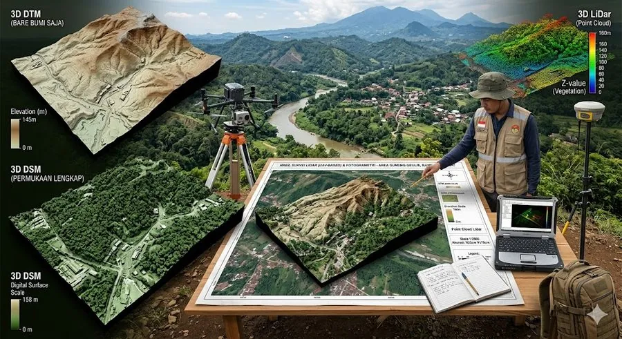
- Enterprise-grade equipment: DJI Matrice 400 and 350 RTK, Zenmuse L3 LiDAR, and geodetic GNSS.
- A multidisciplinary team: surveyors and drone pilots, geologists, geophysicists, GIS specialists, and mining engineers.
- Trusted by state-owned enterprises and agencies including KAI, WIKA, Waskita, PLN, Pertamina, and Badan Geologi.
Related services
Discuss your project
Send us the location, approximate area size, and the deliverables you need. We will reply with a recommended method and a quotation.