LiDAR
LiDAR-Based 3D Modeling Services
High-precision 3D models from LiDAR point clouds, effective for dense vegetation and complex terrain.
Scope
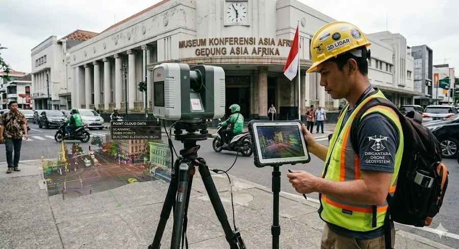
- LiDAR data acquisition (airborne survey)
- Point cloud processing
- Ground and non-ground classification
- Integration with other geospatial data
What you receive
- Point cloud data (LAS/LAZ)
- 3D models (mesh and surface)
- DEM, DTM, DSM
How we work
- Consultation & quotationWe discuss your needs, location, area size, and expected deliverables.
- Data collectionField survey by drone or instruments, positional control, and compilation of supporting data.
- Processing & analysisData quality control, modeling, and analysis within the agreed scope.
- HandoverData, maps, and technical reports, with a walkthrough of the results for your team.
Why PT. Digital Drone Geomapping
- Experience since 2018 in geospatial mapping and surveying for the mining industry.
- Enterprise-grade equipment: DJI Matrice 400 and 350 RTK, Zenmuse L3 LiDAR, and geodetic GNSS.
- A multidisciplinary team: surveyors and drone pilots, geologists, geophysicists, GIS specialists, and mining engineers.
- Trusted by state-owned enterprises and agencies including KAI, WIKA, Waskita, PLN, Pertamina, and Badan Geologi.
Related services
Discuss your project
Send us the location, approximate area size, and the deliverables you need. We will reply with a recommended method and a quotation.